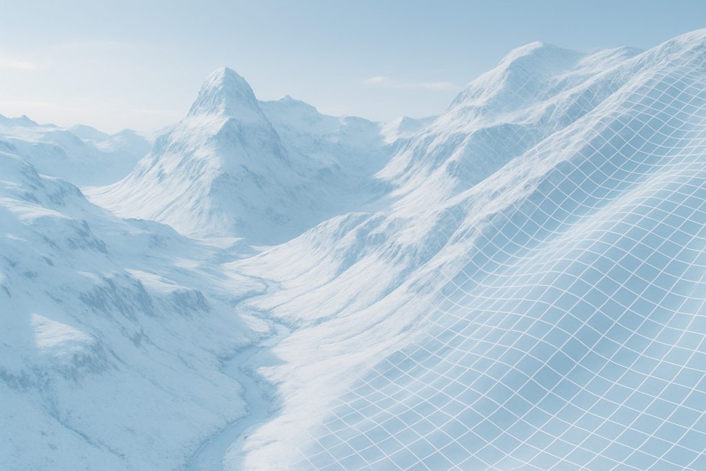
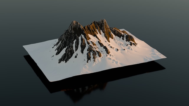
High resolution DEMs – LIDAR Precision that you need
A collection of free, world-wide Digital Elevation Models (DEM) derived from airborne LIDAR
Benefits
Who Can Benefit from High-Resolution DEMs?
Wind & Renewable Energy Developers
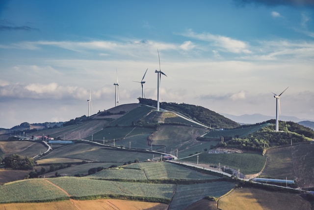
Use high-resolution DEMs to model wind flow across terrain and optimize turbine placement, ensuring cost-effective site development and precise energy yield prediction.
Hydrologists & Environmental Analysts
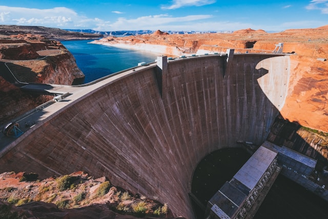
Use precision DEMs in your numerical simulations to delineate watersheds, predict runoff, and analyze flood risk zones.
Urban Planners & Developers
Identify terrain constraints for zoning, utilities, and infrastructure.
GIS Analysts & Cartographers
Use high-quality elevation data for slope, aspect, 3D, and base mapping.
Mining & Georesource Professionals
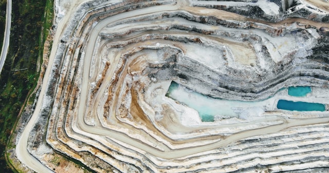
Assess slope, stability, and access in remote or rugged regions.
Simulation and Gaming

Enable a photo-realistic experience with natural feature navigation.
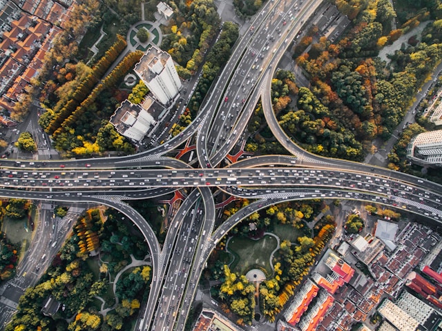
Engineers & Planners
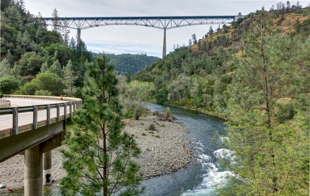
Plan roads, tunnels, bridges, and sites with terrain-aware accuracy.
Agriculture & Forestry
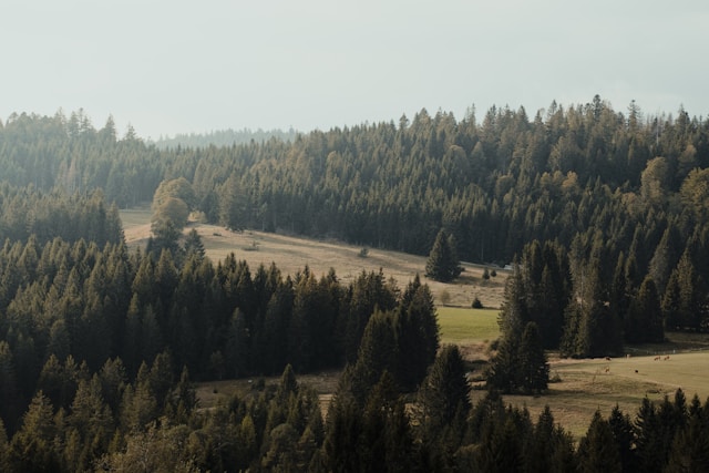
Design field drainage and evaluate terrain for planting or timber yield.

Explore the map
If your business relies on precision terrain modelling, airborne LIDAR derived Digital Elevation Models (DEM) is what you need. Find here a collection of world-wide high-resolution DEMs – It’s free!
FAQ
What you need to know…
Are these DEMs really for free?
Yes, all the DEMs (Digital Elevation Models) listed on this site are freely available. We only link to publicly accessible datasets provided by reputable organizations such as NASA, USGS, and others. However, please note that while the data is free, you must comply with any licensing or usage terms specified by the original data providers
Why can’t I download the data sets directly from this site?
We do not host any DEM data ourselves. Instead, we provide curated links to the official sources to ensure you always access the most up-to-date and authoritative versions. This also helps us keep the site lightweight and focused on helping users discover the right datasets quickly.
Do I have to quote this site as a source?
There’s no requirement to cite this site, since we don’t own the data—we simply help you find it. However, if you found it helpful, we’d really appreciate a mention! Citing or linking to us helps others discover the site and supports its continued development.
Suggested citation:
“DEM links and descriptions retrieved via DEM-WORLD.com”
Can I use the listed DEMs for commercial purposes?
Usage rights depend on the original data provider. Most of the datasets are free for academic and personal use, and some are also permitted for commercial use. Always check the licensing terms on the source site before using any data commercially.
What file formats can I expect from the linked DEMs?
The datasets we link to are typically available in standard GIS raster formats like GeoTIFF, COG and ASCII. The exact format depends on the source provider, and we try to include format details in the metadata pop-ups on the map.
How do I find the data set I need on this site?
The easiest way is to use our interactive world map—just click the “Explore the map” link. From there, you can select a country or region directly on the map. A pop-up will show you available DEM datasets, along with metadata and direct download links. It’s a quick and intuitive way to see what’s available for the area you’re interested in.
What can I do if a country/region I need is not included on this site?
If you’re looking for DEM data for a country or region that’s not yet listed, we’d love to hear from you. Just send us a message via the contact form. Your input helps us prioritize updates and expand coverage based on real user demand. If you happen to know of publicly available datasets for that area, even better—feel free to submit them through the “Donate a DEM” form!
I know of more free high-resolution DEMs. How can I contribute?
That’s great to hear! If you know of publicly available high resolution (<=10m) DEM data sets that aren’t yet listed on our site, we’d love your help. Just fill out the “Donate a DEM” contact form with the dataset link and any relevant details. Your contribution helps the community discover more high-quality elevation data, and we review every submission to keep the site as useful and accurate as possible.
Do you provide help with using or processing DEM data?
While we don’t provide direct technical support, we may occasionally include helpful links or brief tips. If you’re looking for guidance, feel free to reach out—we might add tutorials or resources in the future based on user interest.
Do you provide a WCS/WMS access to the data?
Currently, we don’t offer WCS (Web Coverage Service) or WMS (Web Map Service) access to the datasets. However, we’re exploring the possibility of adding this as a future service, potentially as part of a paid offering. If this is something you’d find valuable, please let us know via the contact form. Your feedback helps us prioritize new features based on real user needs.
News
Latest news and releases

Don’t miss the newest DEMs! Get the Latest Updates Straight to Your Inbox
Sign up to the newsletter to be informed when new DEMs are added.
Your Form Shortcode